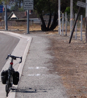
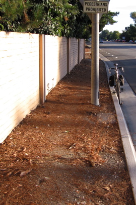
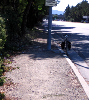
Sidewalk near Monroe
Notice "pedestrians prohibited" sign.
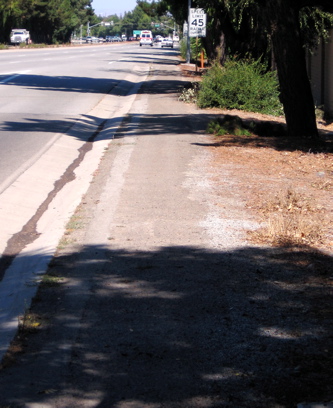
Wide view, Monroe SW corner
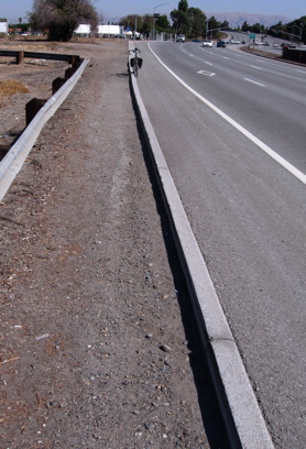
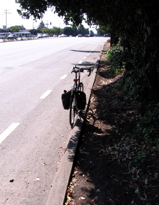
Future Creek Trail (Monroe to Cabrillo)
The path and the shouder here are each 6 feet wide.
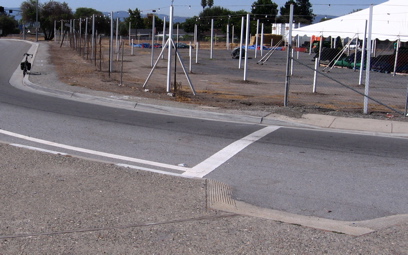
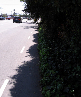
Cabrillo, NW corner
Crossing expressways -- the widest arterial roads -- is the most dangerous.
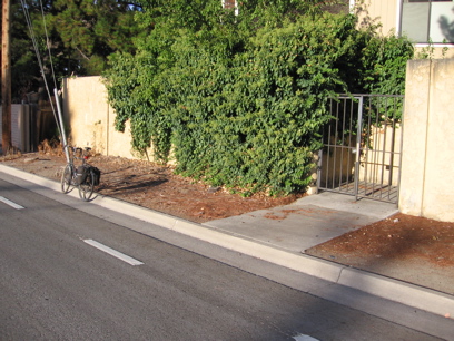
Pedestrian entrance to condos (Santa Clara Redwoods).
Notice gate and sidewalk entry to curb.
From intersection at Forbes to condos.
This "Pedesrians Prohibted" sign is illegal because the Council repealed the prohibition here in 1987.
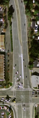
Aerial of Stevens Creek Blvd. & San Tomas.
The northwest corner has a paved path -- a former driveway -- for quite a distance. At the other end of the block, a paved path exists part of the way.
Stevens Creek, NW corner.
To see paved path, click the photo.
Stevens Creek, SE corner.
This is adjacent to Barnes & Noble, in San Jose.
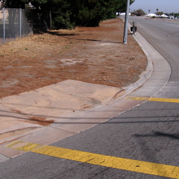
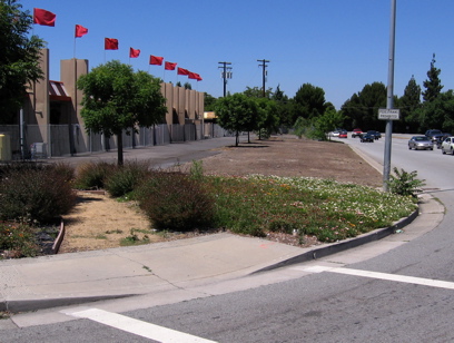
Moorpark, NE corner
Other end of block from previous photo. Part of way is on wide shoulder, and if desired, path is easily created by trimming brush. This is in San Jose.
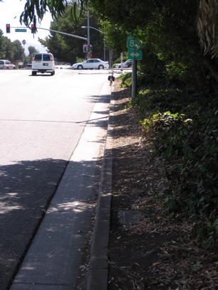
Staff's claimed "choke point", the overgrowth at El Camino (NW corner).
Staff fought against repeal by claiming there was a "choke point" here.
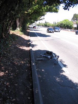
Claimed "choke point" after path creation.
After County compliance with Board (BOS) order to trim shrubs to create path.
Same, closer to intersection.
Same, but looking north.
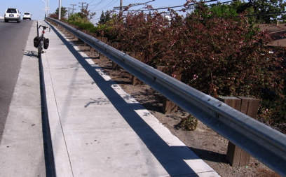
Guard rail along Scott Blvd bridge.
Contrary to staff, a guard rail does not mean that it is too dangerous to allow pedestrians.